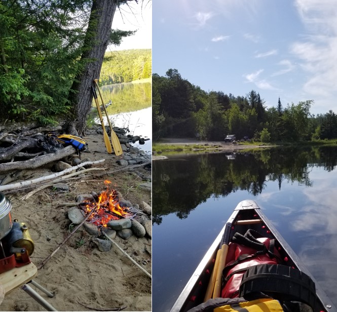
My name is Rick Stys, and I've been paddling canoes on trips since I was 10 years old. Born in upstate NY, raised and attended college in the Burlington VT area, I've been living and paddling the eastern US for over 40 yrs. Some of my favorite trips were the Allagash, the New, historic paddle routes in the ADK's and Algonquin Park in Ontario. I always hoped to add the Connecticut River and the Northern Forest Canoe Trail to my list of paddling adventures but I could never seem to find the time. The death of my father last fall, prompted me to wait no longer, and the social isolation that the upper Connecticut River provided made the timing perfect. The solitude on the river was just what I needed to put this crazy world into perspective.
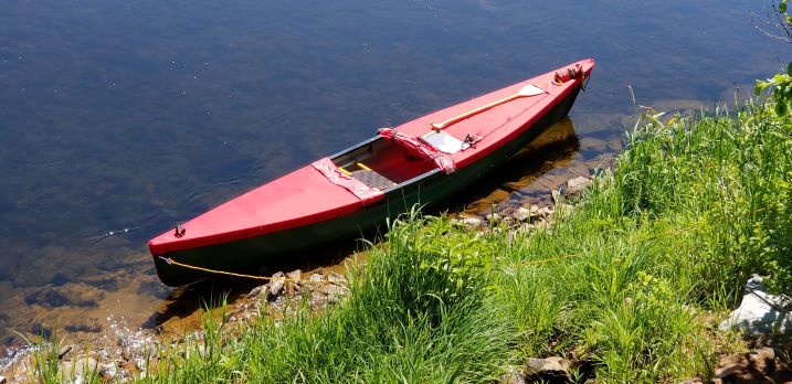
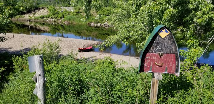
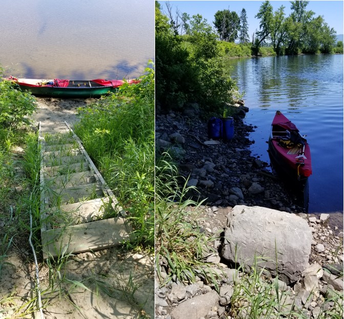
Picture 1: Covered Wenonah Rendezvous
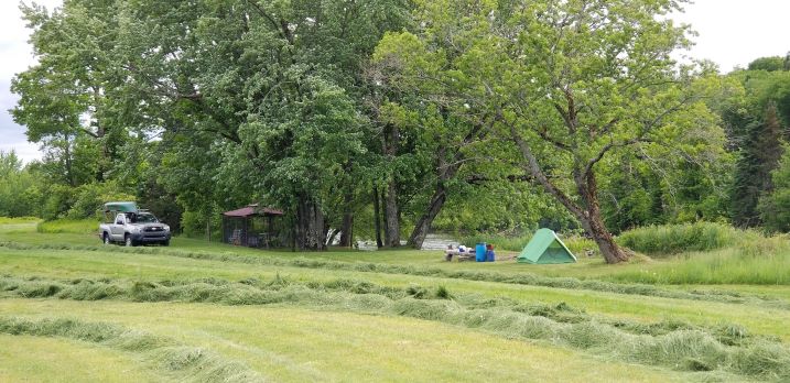
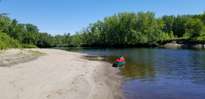
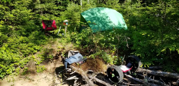
Travel: I left my home in Chapel Hill North Carolina on Friday morning June 12th, and drove as far as the Poconos where I camped for the night on Lake Wallenpaupack. The following morning I was on the road by 6 am, and arrived at Stacey & Don Campbell home in Columbia New Hampshire that afternoon. Because all of the state parks were closed by Covid-19, Stacey allowed me to camp by the river on their property. They had just cut the hay the day of my arrival, and it smelled great!
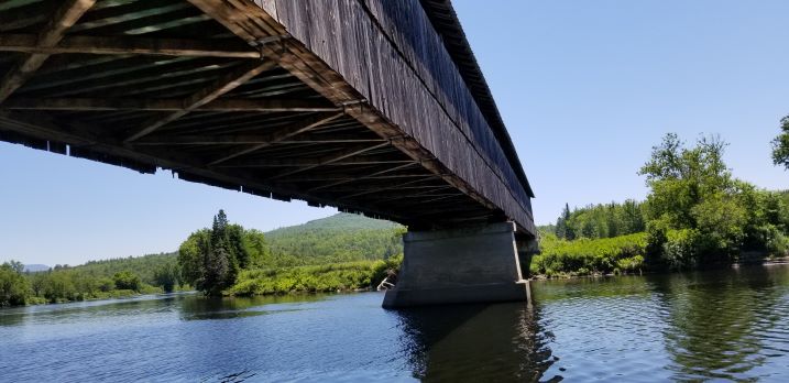
Picture 2; Campbell Camp
They were also my shuttle service for the week, and we agreed to meet at their door yard at 7 am the next morning. She’d give me a tour of the area along the river, and then dropped me off at the start of my trip somewhere in the Pittsburg NH area.
Day 1; Indian Stream (MP380) to Capon Brook campsite (MP367) 13 miles @ 400 cfm
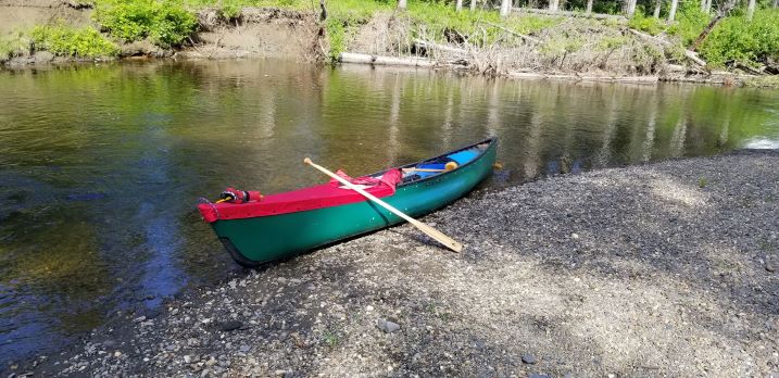
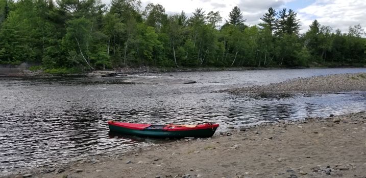
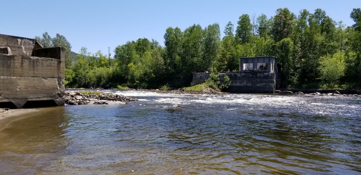
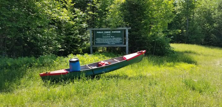
Stacey drove my Tacoma and she pointed out all the key locations along our 20 minute drive to the put-in. My original plan was to start below Bacon Street Bridge, but because of the low water conditions, Stacey convinced me to start about 2 miles downriver on the Indian Stream. I would still start my adventure in Pittsburg, but I would have enough water to float my boat and 120 lbs. of gear without dragging. Stacey dropped me off at a beautiful launch spot, a gravel bar near one of the many covered bridges in the area.
Picture 3: Launch at Indian Stream
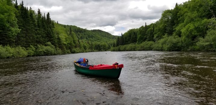
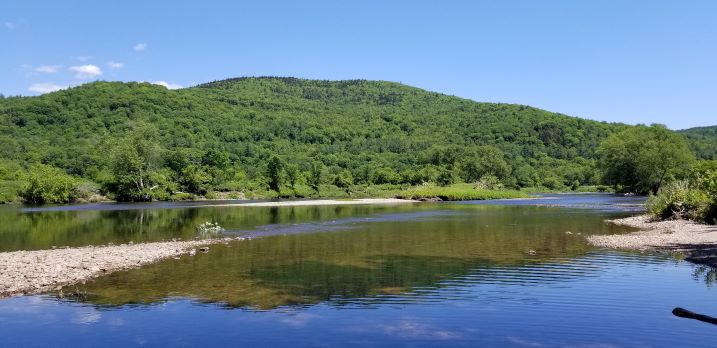
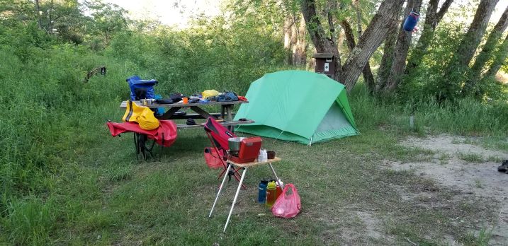
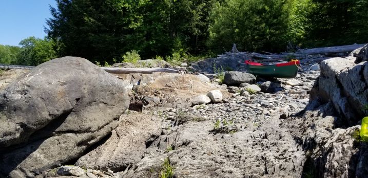
It was on this stream where I saw the largest trout of the trip. A brown trout nearly 20 inches long! It was dead in a pool right near the bridge, and I’m unsure how it happened to be in that area. I paddled about a ½ mile of the stream, and it was calm enough for me to trim/tweak my load prior to reaching the confluence. Once into the Connecticut River, I was in constant quick water up to class I rapids, where I had to stay alert not to hang up on hidden boulders in the water. The day started off sunny but quickly turned cool and overcast making the paths through the boulder gardens even more difficult. Polarized glasses were a huge help in this section. Black flies were a nuisance, but not so bad to require I wear my bug net. Most fly fisherman on this stretch were wearing some type of face cover to ward them off.
Picture 4: Near Pittsburg
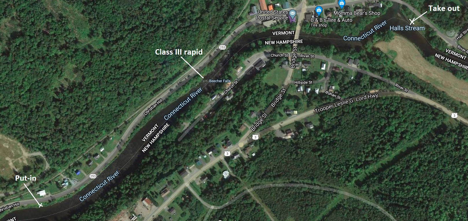
After about a 1 ½ hour paddle, I reached the 1st major obstacle of the Beecher Falls rapids. Stacey had driven me through this small town during our shuttle, and she showed me the possible locations to bypass the Class III rapid if I choose to portage it. My AMC river guide states a portage path exists behind an old restaurant in town. That path is no longer present, so I landed my boat at a small fishing spot just upstream of Halls Stream, and then walked the ¼ mile up to the rapid. It was a legitimate Class III, and if I hadn’t been alone and at the very start of my trip, I would have run it right down the center. The 1st drop would have been no problem, but a line of boulders about 3-4 boats lengths downstream would have been tricky to miss and not broach my open boat. Two smaller drops followed making a total of three in the rapid, and I saw no sneaks on either shoreline. Lining was not a viable option either with high rocky banks on both sides, so I ended up portaging.
Picture 5: Beechers Falls Map
Ok so back to my boat and with the help of a local fisherman, I carried it to the road and mounted it onto my C-tug cart. Once all my gear was balanced in the boat, it was like walking a large wheel barrel right through town. Of course all the locals came out to cheer me on, with one guy reminding me “there’s more water in the middle of the road” and another stating I was “2 weeks early for their 4th of July parade”. I took it all in stride, and once through town it was uphill for another ¼ mile to a spot to put the boat back in. Now for the record, there is no obvious portage path back down to the water, so I picked the lowest elevation, and another local guy helped me lower my boat & gear over the guard rail, and down the 30 foot embankment to the shoreline. The whole scouting & portaging took about an hour, and then it was a quick paddle across the backwater of the dam to the Canaan takeout. I caught my 1st trout (10” brown trout) there on a Panther Martin and watched a little girl and her Dad catch a rainbow about the same size. The ½ mile Canaan portage with a cart was very easy along the road, and I made sure to say hello to the older gentleman on the porch at the intersection. He lives in the house with the Skidoo turned into a flower pot in the front yard!
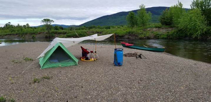
The rest of the day to my campsite at Capon Brook was very uneventful, with some quick water and lots of shallow sandy stretches. I ended up camping on the gravel bar across from the actual campsite. It was very buggy with both black flies and mosquitos in the trees, and the breeze out in the open kept them away. It started to rain so I rigged up my Nomad tarp, and processed 3 Nalgene bottles worth of water for the next day.
Picture 6: Gravel Bar at Capon Brook
Day 2; Capon Brook CS (MP367) to Lyman Falls State Park (MP351) 16 miles @ 380 cfm
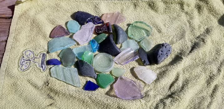
The next morning was cold (low 40’s) and after some hot coffee and oatmeal, it was back on the water by 8:30 am. Coyotes howling through the night and a beaver slapping its tail woke me a few times, but nothing bothered my island camp during the night. The stretch to Colebrook was quick water and more shallow sand flats with high sand/clay banks where I saw a lot of song birds, an otter, a doe and gaggles of Canadian geese with goslings along the shoreline. I didn’t catch a single fish through that stretch. I took my first break below the bridge at Colebrook and spent about an hour combing the gravel bars for beach glass. I found some beautiful pieces.
Picture 7: Beach Glass
The gravel bars, islands and rapids below Colebrook were fun, but then it flattens out and it gets shallow again until you reach Columbia Bridge. A popular location for float fisherman to start a trip. I spoke with a number of them casting for trout in the stretches down to Lemington access. All were using flies or silver Rapalas and I only brought spinners. I passed Stacey’s home in this section and she had pitchers of well water and my missing reading glasses waiting for me at their river access. Thank you Stacey! The final section to Lyman Falls was some of the best rapids I had run so far on the river. I could find enough water for my boat to pass without scrapping, and the scenery was very pretty. In the old back water from the Lyman Dam, I watched both a loon and an eagle take trout right in front of me. I could get fish to follow my lure, but still couldn’t catch any! The final rapid to Lyman Falls had the most water on river right, but the biggest opening around the dam was on river left. An aggressive back ferry got me over, and as stated by many sources, I ran the drop right on the NH shoreline. At my water level, it was a gravel bar, but I slid over without a problem. I camped right on the gravel beach (NH side) against the willows, and I caught a number of brown trout at this location. I did have company – a family who drove in from the highway to spend the night, but there was plenty of room at the site for correct social distancing.
Picture 8: Lyman Falls
Day 3; Lyman Falls SP (MP351) to Samuel Benton Campsite (MP334) 17 miles @ 360 cfm
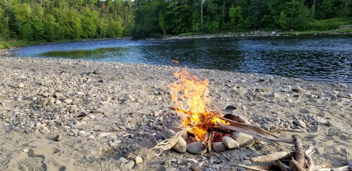
I was up early the next morning, wanting to get started because it was going to be my first 17 mile day. It was another cold morning (around 45) and I had enough driftwood for a morning fire while I had my morning coffee and oatmeal. I spent a good portion of that time looking for my path through the first rapid of the day.
Picture 9: Breakfast Fire at Lyman
Around 7:30 am, an older gentleman came down to my site to fish. He asked about my gear, and my boat and before I knew it, we had talked for about an hour. He told me about his best fishing days on the river since his retirement in 2000. Where he and his grandson caught 7 lbs. of trout at my location 20 years earlier. And that it was only two fish! He was an avid fly fisherman and his final wish was to hook “the big one” before he died. He went through my tackle box and picked out the best lures (mostly tiny Panther Martins). He called spin cast fishing “cheating”, but he laughed when he said it. I finally launched at 8:30 am after we did a final pandemic fist bump, and I watched him start to put on his waders as I set up for the first rapid.
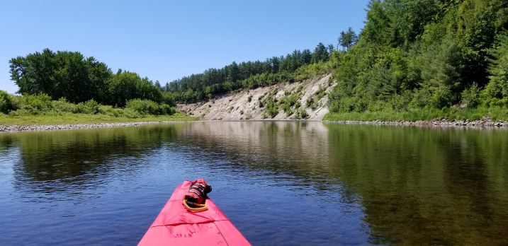
Most of the morning was running Class I rapids and fast water, and it was my favorite stretch on the river. I found at this water level, the most depth in the rapids were tight on the banks, so I had some very lively experiences with overhanging trees and brush. No sweepers or strainers, but it made for an interesting morning. I stopped for first break below Bloomfield and there’s some very fun islands to maneuver around and then the Esker at Brunswick Springs were visible.
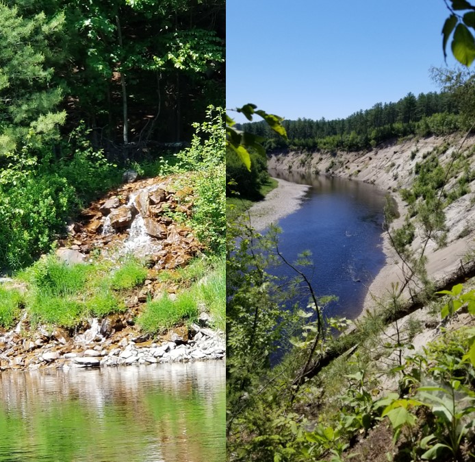
Picture 10: Brunswick Springs Esker
I hiked up to the pond, and up onto the top of the Esker (over 100 ft. high), and it was the most unique landform I saw on the whole river. Be prepared for the strong smell of sulphur as you climb up the spring to the pond. Landslides with rocks and trees were a constant danger as I paddled along the Esker so be cautious!
Picture 11: Brunswick Images
The confluence with Paul’s Stream was my lunch spot, and it was becoming hot for the first time on the trip. I tried my luck with casting the tiny Panther Martin where the two water’s met, but the blazing sun had chased all the fish into the shadows.
Picture 12: Mouth of Pauls Stream
Somewhere along that gravel bar, I dropped my Leatherman pliers, so someone will find a nice prize on their next visit. The remaining miles were gradually becoming less quick water and more twists and bends with a sand bottom. And it was hot into the high 80’s! I had finally run out of fresh water, and I decided to stop at Stratford Hollow Bridge and walk the ½ mile to the local store. You’ll know you’re at the right stop when you see the Peregrine Falcon nest on the bridge! I arrived at Samuel Benton campsite around 4:30 pm, tired and hot. I planned to camp a 3rd night near the water, but it was all soft sand and too hot, so I stayed up in the trees.
Picture 13: Samuel Benton
Day 4; Samuel Benton CS (MP334) to South Guildhall Campsite (MP317) 17 miles @ 350 cfm
The bugs had chased me into my tent early, so I was wide awake as soon as the sun was up. I quickly ate my breakfast, and was on the water by 7 am for another 17 miles of paddling. Around the next bend in the river was a beautiful gravel island that I could have stayed on, so note to self to consult the map before choosing my spot for the night! A huge bald eagle greeted me from a tree on the shoreline. The river in this section wound back and forth as I entered the Upper Coos, and I caught more fish than anywhere else on the river. But no trout all dace or “chubs” as called in the north. Some were as big as 3 lbs. and they gave me quite a fight. At 1st break I had planned to paddle up the Upper Ammonoosuc River to a pretty sand beach where I could see another person already swimming. As I approached that person, it became a full grown black bear that climbing out of the water, shook itself like a dog, and walked calmly into the undergrowth. I decided to stretch my legs a bit farther downstream at the next beach!
Picture 14: Beach after Bear Sighting
The rest of the morning was more sandy bottom and farmland until the portage at Wyoming Dam. When I reached the take out, someone in an old aluminum canoe was staged to start the climb up to the road. A staircase made of granite blocks and then a gradual path where I could use my cart. By the time at had done my 1st carry, a young couple from Fairfax VT came to pick up their gear. I quickly suggested we share the burden of carrying the canoes, and after a quick 15 minutes of joint effort, we parted ways at their vehicle parked at the road. They too had seen a black bear while pedaling their bikes to get their vehicle. After they drove away, I was able to slide my boat down the sandy path to the put-in below the dam. I had scouted a route through the rapids from the bridge, and it appeared very doable, until I looked from water level below the dam. Logs with huge steel spikes were sticking out all along the side of the drops, God only knows what’s in the actual water. So portage this section – don’t attempt to run it! My picture does it no justice – it’s pretty big water with lots of scare debris…
Picture 15: Wyoming Dam
The remaining miles went by quickly with my kayak paddle, and I reached my camp at South Guildhall around 3 pm. I was again out of fresh water, and I had planned to refill my 4 Nalgenes at one of two streams near the Washburn Access, but both brooks were nearly dry and bear and coyote tracks/scat were all over the shoreline. So I moved onto plan B. Once at my campsite, I used my collapsible bucket to get “clean” water from the middle of the river. I then filtered and boiled it to assure its drinkability. I was mostly concerned about agricultural run-off, but of the 2 gallons worth of processed river water I drank on the trip, I never experienced any ill effects…
Picture 16: South Guildhall
I read in the camp log that the campsite was prone to visits from a Momma black and 2 cubs, so my food pack was hung up for the 1st time on the trip. Something came through my camp during the night, but it could have been a visiting raccoon. My picture shows my camp prior to bedtime, where all items excluding my stove, chair and table are stowed away in olive barrels before getting in my tent.
Day 5; South Guildhall CS (MP317) to Dalton Primitive Campsite (MP300) 17 miles @ 360 cfm
Back on the river early, I reloaded my boat down the 15 steps and paddled off. My middle finger of my right hand had started to go numb, so every 10 minutes, I’d switch sides with the canoe paddle.
Picture 17: Day 5 images
That practice seemed to help, but my progress was a bit reduced to about 2.5 miles per hour. The river at this point was sand, downed trees and high banks filled with wildlife. Birds, chipmunks, red squirrels, otters, geese and fish in all sizes were visible constantly as I paddled through the farmland. I saw a huge fish well over 2 feet long, and it must have been a carp with a back over a foot high!
1st break was at Lancaster Bridge where it’s currently being rebuild so stay on river right. Just past the bridge, a boat launch and campground on river left gives you an opportunity to get fresh supplies at their store/gas station. A large gravel island where the Israel’s River enters, I found more beach glass and 3 complete antique bottles from the turn of the last century. By noon, the temp had gotten to 90+ degrees, so I took my lunch in shade under the Mt Orne covered bridge while someone with a drone flew around the bridge taking pictures.
Picture 18: Orne Bridge
Once I started down the long straight section below the bridge, the wind was so strong, I switched to my kayak paddle to continue forward. I found that on the rest of my trip, every afternoon I had to use it because the prevailing wind in my face. The section below John’s River started looking more like a lake than a river – the vegetation growing right to the water’s edge. Large white pines, birch and spruce had their roots right to the water. I watched both mergansers and loons diving for fish in the deeper areas. Along the boulder shorelines I saw many smallmouth bass but I never caught one. This area was the only place I saw motorized boats on the whole 80+ mile trip.
Picture 19: Gilman Portage field
The portage around the Gilman dam was very well marked, and perfect for my cart – except for the last 50 yards where it was all boulders and ledge. Good thing my boat was made of Royalex!
Picture 20: Gilman Portage rocks
Once below the dam, there was two sections of fast deep water with large boulders, and then it was calm in the beginnings of the Moore Reservoir. The hills and shoreline looked and smelled just like lakes in the Adirondacks of my youth. My plan was to camp at the Dalton Primitive site with picnic tables and tent platforms, but instead a found a little spot just big enough for my tent, chair & table with its own sand beach. It was right next to a small trout stream, and it smelled just like Christmas trees! I have to say it was my favorite campsite of the trip. The water was finally warm enough for a swim, and I took advantage of the small sand beach to dry off in the sun.
Picture 21: Last Camp
I ended up relaxing in the shade until the sun went down on the opposite shore. The temperature was in the mid-90, and I enjoyed my last can of soup and an adult beverage listening to the bull frogs sing along the shore. What a great spot.
Day 6: Dalton Primitive campsite (MP300) to Gilman boat launch (MP299) 1 mile @ 300 cfm
Again during the night, coyotes woke me up with their howling. So at first light, I was down at my beach boiling some river water for breakfast coffee and oatmeal. The fire kept the mosquitoes at bay, and I tried more fishing without any luck. It was just a well, it was time to go home…
Picture 22: Day 6 images
I took my time packing up and then paddling around the last shaded bend of the river to get to the Gilman boat ramp. I was only 75 yards upstream from the Dalton site, and I’m so glad I stayed at my single campsite instead. The primitive site was a bit too much like civilization with all the pressure treated wooden structures. Stacey had contacted me the night before, and she said my truck would be there by 7:30 am that morning. I arrived around 8 am, and as I rounded the point, I could see my silver Tacoma shining in the sunlight! What a great ending to a great trip!
Lesson learned:
1.Shuttle service: I had contacted a number of shuttle services before speaking with Stacey. She was the only service to work with me during the unique situation of the Covid-19 pandemic. We practiced all correct social distancing practices, and wore masks whenever we were near each other. They let me camp on their property when all the state parks were closed. They are good people and took care of me just like family. Stacey had offered to drop off supplies at any location of my choosing, and we conversed by text every evening to know my whereabouts. You can contact them about your next trip at:
Stacey and Don Campbell
1081 Scott Phillips Highway (Route 3)
Columbia, NH
802-274-7634
Staceycampbell14@gmail.com
2. Phone Service: Verizon worked fine all along the river, where I’m told that AT&T would not. I had packed a borrowed SAT phone, but left it in my truck - I always had 3-4 bars and 4G whenever I turned it on my smart phone...
3. Water: I underestimated my water consumption because of the extreme heat. I had planned on 2 Nalgene bottles per day (64 oz.) but I was using closer to 100 oz. I had a Sweetwater filtration system, but I had always used it on mountain streams, not a silty river surrounded by farms. I never had any ill effects, and I drank over 2 gallons worth of process water. I wrote in my trip report a number of places to get fresh water if you choose not to process your own.
4. Portages: For me, portages and the challenges they present are part of the experience of any river trip. Stacey had shown me the hazards on my shuttle ride to the put-in, and I had multiple sources of information. But best info is “boots on the ground” at the actual spot to make your final assessment. Everything I read and saw on line told me I could run Beechers Falls with my experience level, but when actually seeing it, the water level made it too risky. My C-tug cart was a fantastic investment, and work well on pavement, grass and sand. If portages are not your thing, start below Canaan…
