“CT Paddlers Trail Illustrated Map and Guide (MA/CT)” has been added to your cart.
View cart -
$11.95
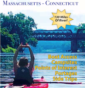
This six panel map covers the Connecticut River from the Massachusetts border south to Long Island Sound – a distance of a 130 miles.Developed by Appalachian Mountain Club and the Connecticut River Conservancy, with support from from the Wilderness Map Company, this beautiful and function map is waterproof and adventure ready.
-
$11.95
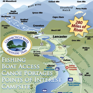
This map covers the river from its headwaters 280 miles south to the Massachusetts border, and includes all access points, campsites, portage trails, and information on the area natural and cultural history. 3rd Edition (2024).
-
$21.50
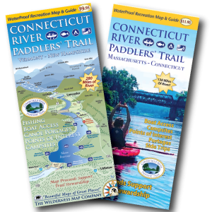
Purchase both the northern and southern maps – and save 10% This two map set covers the Connecticut River from its headwaters south to Long Island Sound. These two beautiful and functional maps waterproof and adventure ready. Save 10% by purchasing both at the same time! Designed for paddlers, the maps include: • Two waterproof,…