CT Paddlers Trail Illustrated Map and Guide (VT/NH) – 3rd Edition (2023)
$11.95
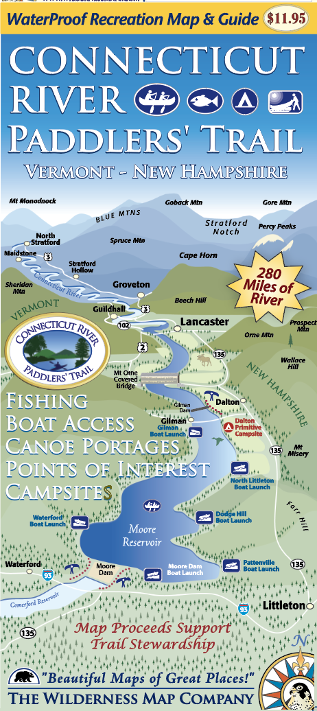
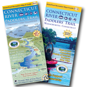
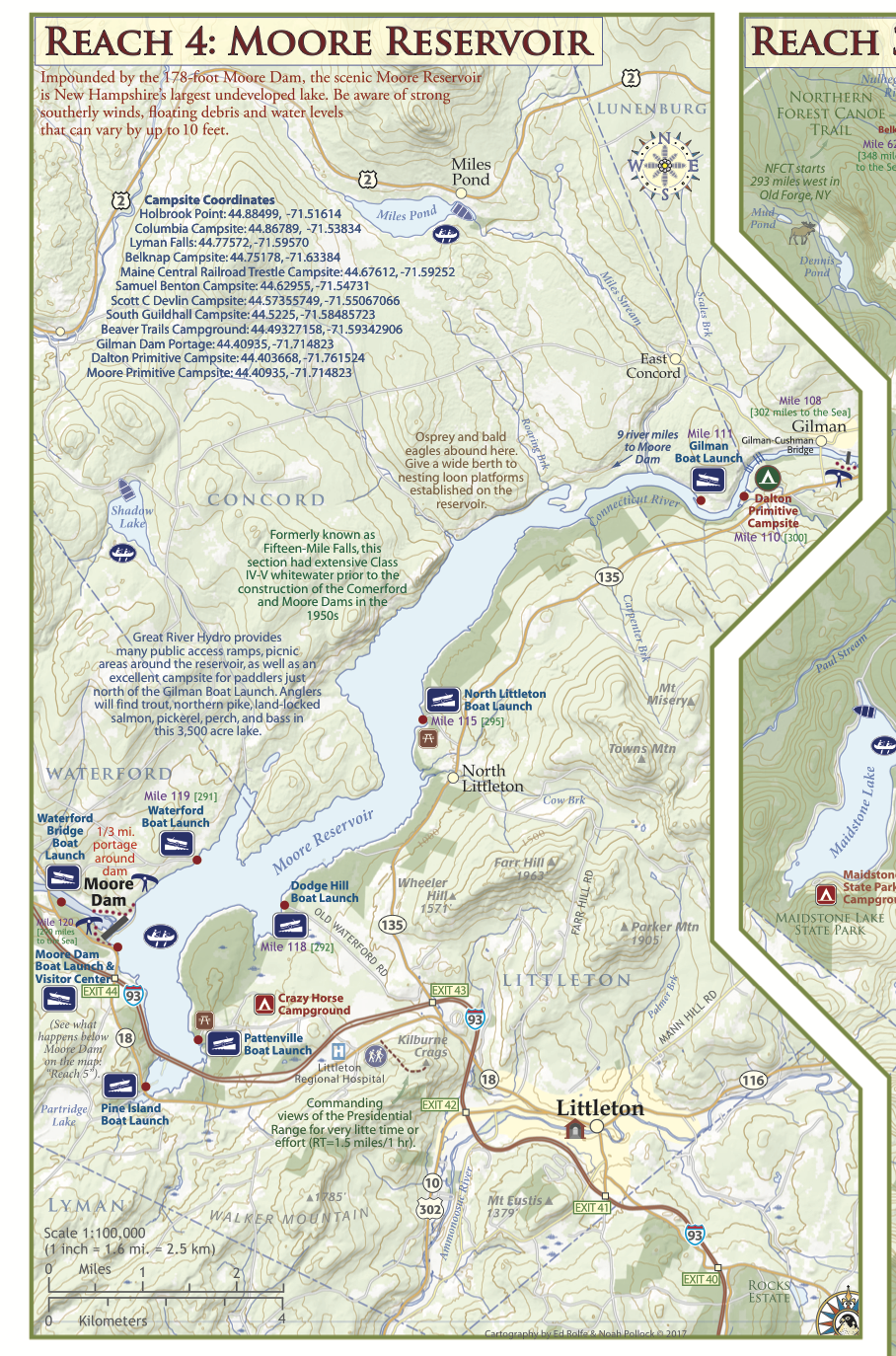
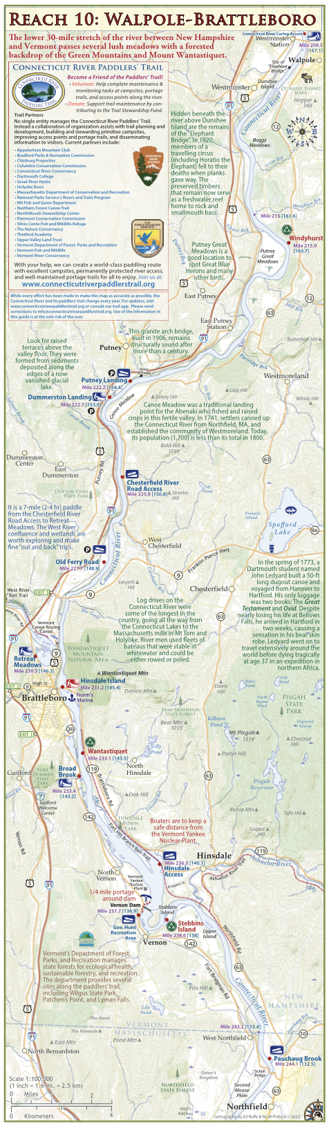
This map covers the river from its headwaters 280 miles south to the Massachusetts border, and includes all access points, campsites, portage trails, and information on the area natural and cultural history. 3rd Edition (2024).
Description
This is the most complete and updated river-ready resource for your river adventures along the northern river. This map covers the river from its headwaters 280 miles south to the Massachusetts border, and includes all access points, campsites, portage trails, and information on the area natural and cultural history.Developed by the NorthWoods Stewardship Center, the Vermont River Conservancy, and the Vermont Department of Forest Parks and Recreation in partnership with the award winning Wilderness Map Company, this beautiful and functional map is fit for both your kayak cockpit AND your coffee table.
This guide was revised in 2023 to include:
- Larger font sizes and a lighter background for easier reading
New campsite locations
New access areas
Updated conserved lands layer
Sample Pages:
Additional information
| Weight | .2 lbs |
|---|---|
| Dimensions | 4.5 × 8.5 × .25 in |
Reviews
There are no reviews yet.